Ending 10th Apr, 2022 18:00
Books and Maps - Timed Auction - Fri 1 Apr to Sun 10 Apr

36
1-3: MOULE
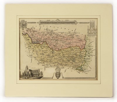
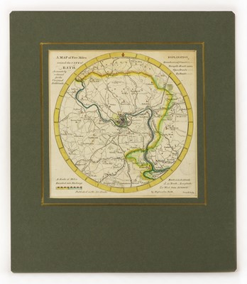
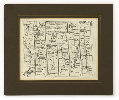
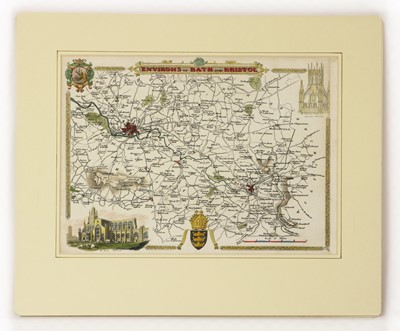
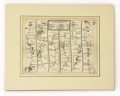
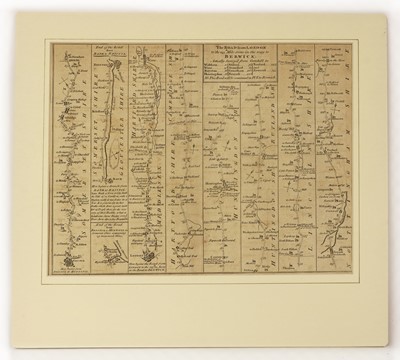
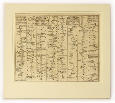
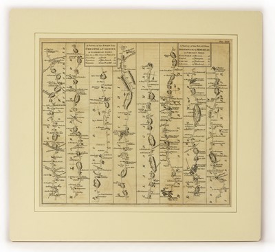
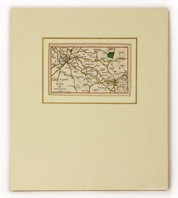
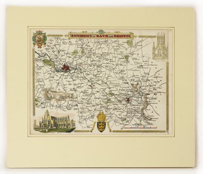
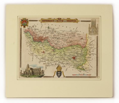
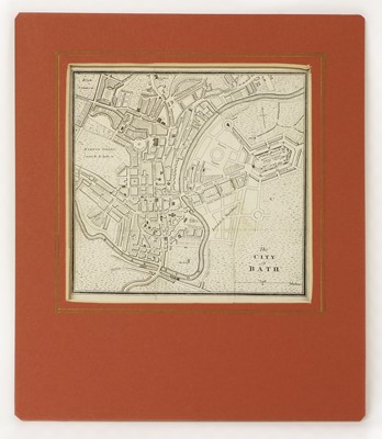
1-3: MOULE: The English Counties Delineated: Environs of Bath and Bristol: 3 Maps: 1835; 1836 & 1837-47, (265 x 202). All three hand-coloured and mounted; 4-6: Gardner: The Universal Magazine of Knowledge and Pleasure: Traveller: 3 Maps: Plate IV - Bristol to Huntspil; Plate XIV - Commencing Chippenham, the other at Marlborough; & Plate XXVII - Chester to Cardiff and Dartmouth to Minehead. 1766 (Jun); 1767 (Oct); & 1770 (Mar). (370 x 300), all mounted; 7- Savage & Meyler: A Map five miles round the city of Bath accurately reduced for the original Bath Guide. 1851. (195 Diameter), hand-coloured and mounted; PLUS 5 Others (1 coloured), and all mounted (12)
Provenance: From a private Somerset map collection.
Sold for £130
Auction: Books and Maps - Timed Auction - Fri 1 Apr to Sun 10 Apr, ending 10th Apr, 2022
Please select the shipping destination;
Buying a pre-loved, antique, or vintage item not only provides you with unique style and value for money but it also helps to reduce landfill, and the annual emissions of an antique or vintage piece can be as little as one sixteenth of those of its new equivalent!
Sworders is proud to be supporting the work of Antiques are Green - the movement that was founded in 2009 to promote “a greener future created from the past”. Read their fascinating carbon footprint study of a Georgian chest of drawers versus a modern equivalent here
![]()
Request A Valuation
Here at Sworders, we are happy to offer a free online valuation service. Please fill out the form and press the 'Submit' button below.
To help us with your valuation please attach clear photographs of the item where possible. You can submit up to 5.
Approximate dimensions are also useful. Expect to hear from the appropriate valuer as soon as possible.

